| Navigate: |
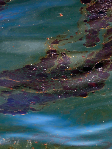 A large oil slick floats atop the surface of the Gulf of Mexico about one mile south of Perdido Key, Florida. A large oil slick floats atop the surface of the Gulf of Mexico about one mile south of Perdido Key, Florida. Source: U.S. Coast Guard, June 12, 2010. Tracking the SpillBelow is a list of websites that have useful maps
and other tracking tools.
|
|||

|